

The wikilake package provides functions to scrape the metadata tables from lake pages on Wikipedia.
install.packages("wikilake")
devtools::install_github("jsta/wikilake")
# metadata only
lake_wiki("Lake Mendota")
#> Retrieving data from: https://en.wikipedia.org/wiki/Lake_Mendota
#>           Name                             Location Primary inflows
#> 1 Lake Mendota Dane County, Wisconsin,United States    Yahara River
#>   Primary outflows Catchment area Basin countries Surface area Max. depth
#> 1     Yahara River       562 km^2   United States   9740 acres       25 m
#>   Residence time Shore length1 Surface elevation
#> 1      4.5 years       34.8 km             259 m
#>                                Frozen     Lat      Lon
#> 1 December 20 (average freezing date) 43.1066 -89.4247

# pretty printing metadata
knitr::kable(tidyr::gather(lake_wiki("Lake Mendota")))
#> Retrieving data from: https://en.wikipedia.org/wiki/Lake_Mendota| key | value |
|---|---|
| Name | Lake Mendota |
| Location | Dane County, Wisconsin,United States |
| Primary inflows | Yahara River |
| Primary outflows | Yahara River |
| Catchment area | 562 |
| Basin countries | United States |
| Surface area | 9740 |
| Max. depth | 25 |
| Residence time | 4.5 |
| Shore length1 | 34.8 |
| Surface elevation | 259 |
| Frozen | December 20 (average freezing date) |
| Lat | 43.1066 |
| Lon | -89.4247 |
# metadata + map
lake_wiki("Gull Lake (Michigan)", map = TRUE)
#> Retrieving data from: https://en.wikipedia.org/wiki/Gull_Lake_(Michigan)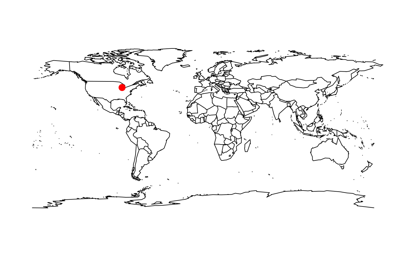
#>        Name                                            Location
#> 1 Gull Lake Kalamazoo / Barry counties, Michigan, United States
#>   Primary outflows Basin countries Surface area Max. depth
#> 1   Gull Creek [1]   United States       8 km^2       34 m
#>   Surface elevation    Lat     Lon
#> 1 268 m 42.399 -85.411lake_wiki("Gull Lake (Michigan)", map = TRUE, "usa")
#> Retrieving data from: https://en.wikipedia.org/wiki/Gull_Lake_(Michigan)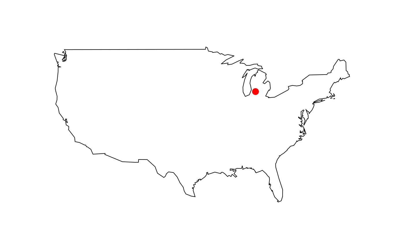
#>        Name                                            Location
#> 1 Gull Lake Kalamazoo / Barry counties, Michigan, United States
#>   Primary outflows Basin countries Surface area Max. depth
#> 1   Gull Creek [1]   United States       8 km^2       34 m
#>   Surface elevation    Lat     Lon
#> 1 268 m 42.399 -85.411lake_wiki("Lake Nipigon", map = TRUE, regions = "Canada")
#> Retrieving data from: https://en.wikipedia.org/wiki/Lake_Nipigon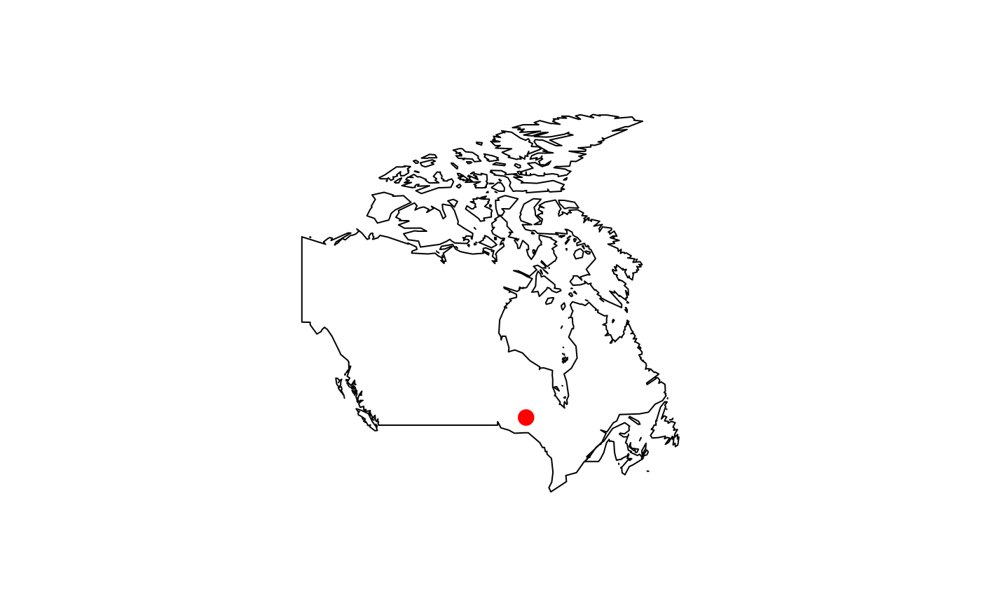
#>           Name Location Primary outflows Catchment area Basin countries
#> 1 Lake Nipigon  Ontario    Nipigon River     25400 km^2          Canada
#>   Surface area Average depth Max. depth Water volume Shore length1
#> 1    4848 km^2        54.9 m      165 m     248 km^3       1044 km
#>   Surface elevation   Lat   Lon
#> 1 260 m 49.83 -88.5lake_wiki("Cass Lake (Michigan)", map = TRUE, "state", region = "Michigan")
#> Retrieving data from: https://en.wikipedia.org/wiki/Cass_Lake_(Michigan)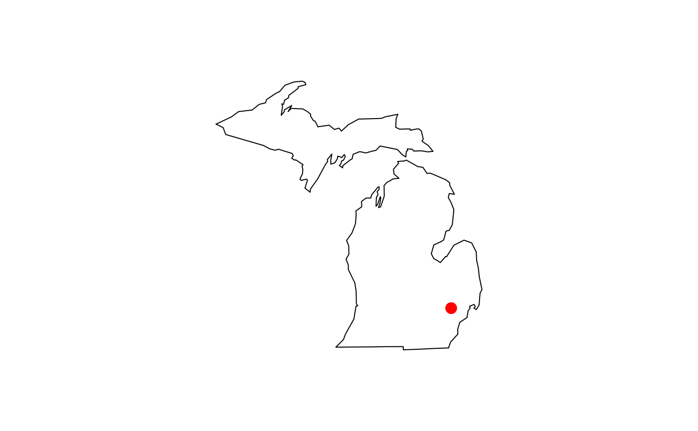
#>        Name                 Location Basin countries Surface area
#> 1 Cass Lake Oakland County, Michigan   United States   1280 acres
#>   Max. depth Surface elevation    Lat     Lon
#> 1       37 m             283 m 42.606 -83.365