![]()
![]()
![]()
![]()
The censusxy package is designed to provide easy access to the U.S. Census Bureau Geocoding Tools in R. censusxy has also been developed specifically with large data sets in mind - only unique addresses are passed to the API for geocoding. If a data set exceeds 1,000 unique addresses, it will be automatically subset into appropriately sized API calls, geocoded, and then put back together so that a single object is returned. There is also support for parallel processing on Non-Windows platforms.
cxy_geocode() has changed slightly to facilitate new optionscensusxy now only has 1 dependencyThe easiest way to get censusxy is to install it from CRAN:
Alternatively, the development version of censusxy can be accessed from GitHub with remotes:
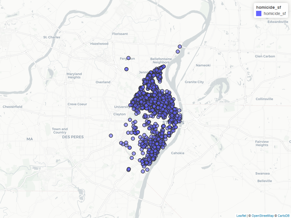
The censusxy package contains two data sets, stl_homicides (n = 1,812) and stl_homicides_small (n = 24), that can be used to demonstrate the functionality of the package. The stl_homicides_small data is included specifically for quick experimentation, as its small sample size ensures an expedient response from the API.
To test censusxy’s functionality, load the package and either of the sample data sets:
There are two possible variable configurations (simple and full, specified using the output argument), and two possible output class types (dataframe and sf, specified using the class argument):
homicide_sf <- cxy_geocode(data, street = "street_address", city = "city", state = "state",
    output = "simple", class = "sf")
If you request an sf object, you easily preview the results with the mapview package:
Please note that this project is released with a Contributor Code of Conduct. By participating in this project you agree to abide by its terms.