
This project downloads a set of shapefiles relevant to the Czech Republic. It was inspired by the popular tigris package for US datasets.
For examples of RCzechia in action please see the package vignette:
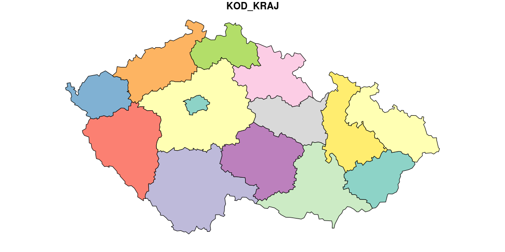
The administrative area polygons (except for city parts) are based on the RÚIAN register; the natural objects (and city parts) are based on ArcČR 500 (https://www.arcdata.cz/produkty/geograficka-data/arccr-500) with some adjustments:
The shapefiles are by necessity larger than the limits of a CRAN package size allow. The data are therefore stored remotely (on Amazon AWS) and downloaded as required. Working internet connection is therefore required to fully use the package.
For the most commonly used shapes (republika, kraje and okresy) an optional low resolution version is also included. To access it specify the value of resolution parameter as "low" (default is "high").
Using of the lo-res versions does not require a working internet connection.
Access to the external files is logged, from time to time I check the logs (mainly to understand my bandwidth charges).
Tohle je “oficiální”, a tedy anglické, readme. Českou verzi naleznete na http://www.jla-data.net/cze/package-rczechia/
The package is on CRAN (as of March 2018) so to get a stable version simply run:
You can also get the latest development version by running remotes::install_github("jlacko/RCzechia") and the last version built on sp instead of sf package by running remotes::install_github("jlacko/RCzechia", ref = "v0.1.4").
All objects are implemented as functions returning data frames, so must be followed by brackets (i.e. hranice <- republika()).